Earth and Its Shapes: Facts for Kids | Classes 2–4
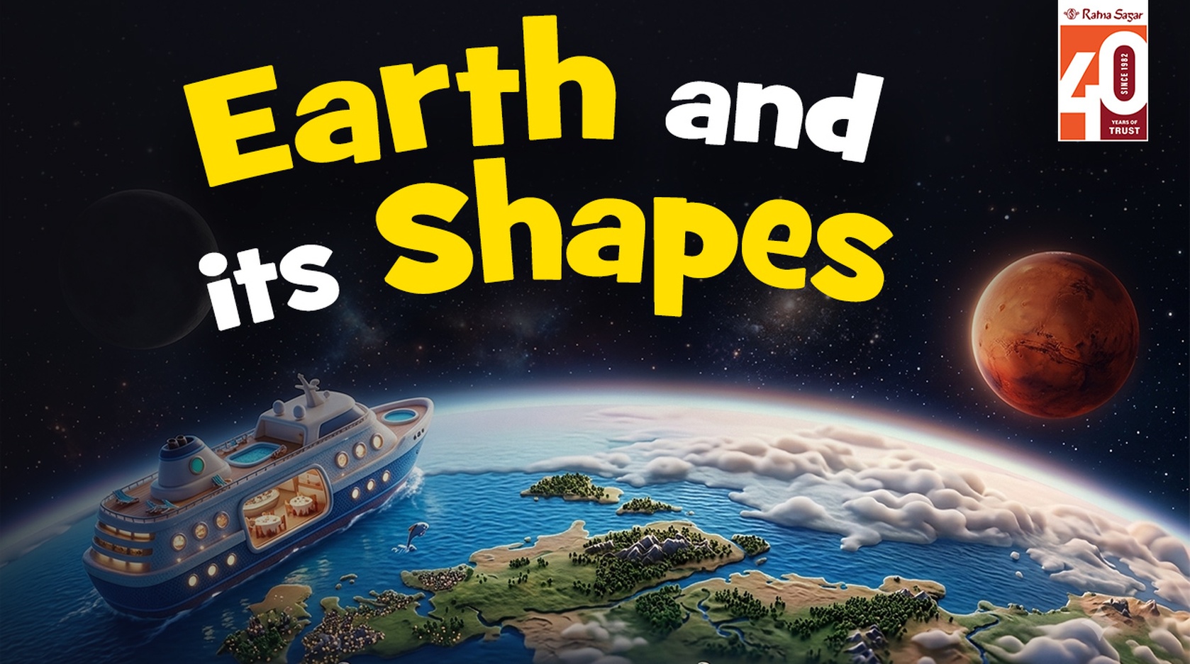
Earth and its Shapes
Have you ever looked out at the world and wondered why the ground feels flat under your feet, yet people say planet Earth is round? For young learners in classes 2, 3 and 4, this simple question opens the door to an exciting adventure in Earth science and school geography. Ratna Sagar’s delightful animated video, Earth and Its Shapes, captures exactly this wonder in a warm, child-friendly way. Watch it with your child — the friendly narration and clear visuals make the big idea of Earth’s shape easy and fun to grasp.
Why the Earth Looks Flat but Isn’t
When we stand outside and look as far as we can see, the land or sea seems to stretch out flat until it meets the sky at the horizon. Long ago, many people believed the Earth was a flat place with sharp edges. They feared that if ships sailed too far, they would fall right off!
Today we know better. The Earth is actually shaped like a giant ball — we call this shape a sphere, or more precisely a spherical Earth. The video uses a lovely comparison: imagine a tiny ant walking on a very big ball. The ant can see only a small flat patch around itself, so it thinks the whole ball is flat. We humans are like that ant on our enormous planet Earth. Because Earth is so big, the small piece we can see looks flat.
A simple everyday proof appears when a ship comes into view at the horizon. First you see only the top of the mast, then the middle of the ship, and finally the whole vessel. This happens because the ship is travelling over a curved surface. If the Earth were flat, the whole ship would appear all at once. This gentle observation helps children understand that the Earth’s surface is curved.
From Sphere to Geoid – Earth’s True Shape
Scientists describe the Earth as nearly spherical, but not a perfect ball. Because our planet spins (Earth’s rotation), it bulges a little around the middle (the equator) and is slightly flattened at the top and bottom (the poles). This special shape is called a geoid. You can think of it as a soft, slightly squashed sphere — still very round when we look at photographs taken from space.
Knowing the shape of Earth is the starting point for all geography for students. It explains why we use a globe and map together. A globe is a miniature model that shows the true spherical Earth, the correct sizes and positions of the continents and oceans, and the continuous curve of the surface. A map is a flat drawing that helps us study smaller areas in detail. Together, the globe and map teach children about latitude and longitude, the imaginary lines that help us locate any place on Earth’s surface.
Earth’s Structure and Layers
Planet Earth is more than just its outer shape. Inside, it has layers, a bit like a boiled egg. The thin outer layer is the crust — the solid ground we walk on and the ocean floors. Beneath it lies the thick mantle, and at the very centre is the hot core. For young children it is enough to know that Earth has these layers and that the surface we see is only the top “skin.”
This Earth structure creates the physical features of Earth we notice every day. The crust is never completely still. Over millions of years it has been pushed, folded and worn down to form a wonderful variety of natural landforms.
Landforms – The Beautiful Physical Features of Earth
Look around and you will see mountains that rise high into the sky, flat plains that stretch for kilometres, high plateaus that look like tables, and valleys that cut deep between hills. These are the main landforms that decorate Earth’s surface.
Mountains are tall and rocky; they often have cool climates and snowy peaks.
Plains are low, flat lands perfect for farms and cities.
Plateaus are raised flat areas with steep sides.
Valleys are the low spaces between mountains or hills, often with rivers flowing through them.
These natural landforms, along with the vast continents and oceans, make up the living map of our world. The seven continents — Asia, Africa, North America, South America, Europe, Australia and Antarctica — are the great land masses. Between and around them lie the five oceans that cover most of Earth’s surface with water.
All these features — mountains, plains, plateaus, valleys, continents and oceans — are part of world geography and environmental science. They influence where people live, what crops grow, and even the weather we feel.
How Earth’s Shape Affects Daily Life
The spherical Earth and its gentle tilt and spin create the patterns of day and night and the changing seasons. Earth’s rotation (spinning on its axis) brings day and night. Earth’s revolution (journey around the Sun) brings the seasons. Because the Earth is curved, sunlight falls more directly near the equator and more slanted near the poles — that is why some places are hot and others cold.
Navigators, sailors and even the apps on our phones use the knowledge of Earth’s shape and the grid of latitude and longitude to find their way. Every time your child looks at a globe or a map in a school geography book, they are using ideas that began with understanding the shape of Earth.
Fun Earth Facts for Young Explorers
Earth is the only planet we know that has life, because it has the right mix of land, water and air.
About three-quarters of Earth’s surface is covered by oceans.
The highest mountain, Mount Everest, and the deepest ocean trench both sit on the same curved surface of our geoid-shaped planet.
Pictures taken from space clearly show that Earth is round and beautiful — a blue and green ball floating in the darkness.
These Earth facts turn abstract ideas into something children can feel proud of knowing.
Watching and Learning Together
The short animated video from Ratna Sagar is perfect for classes 2, 3 and 4. Its calm, clear voice and simple pictures match the curiosity of young minds. After watching, you can ask your child: “Why does the Earth look flat to us?” or “What happens when a ship appears at the horizon?” These little conversations turn a five-minute video into a lasting geography lesson.
You can also bring out a globe or an atlas and let your child find the continents and oceans, or point to mountains and plains. Connecting the video to real objects makes Earth science feel alive.
Understanding the shape of Earth, its structure, its landforms and its surface is the foundation of all later learning in geography and environmental science. When children grasp that we live on a giant, slightly flattened sphere covered with mountains, plains, plateaus, valleys, continents and oceans, the whole world becomes more interesting.
Ready to explore further with your child? Watch the full animated story here: Earth and Its Shapes | Ratna Sagar. Then open a Ratna Sagar geography book or activity sheet and keep the discovery going. Encourage your young explorer to draw their own picture of Earth, label the landforms, or make a simple clay model of a sphere. Every question they ask is a step deeper into the wonderful science of our home planet.
Let curiosity lead the way — the more they understand Earth and its shapes, the more they will care for the only home we have.
Recent Posts
Planning a Picnic: Class 1 English Learning
13/10/2026
International Day of the Girl Child: 10 Lines & Essay
09/10/2026
R K Narayan Birth Anniversary: Malgudi, Books & Legacy
06/10/2026
Gandhi Jayanti: Truth, Non-Violence and Its Relevance Today
01/10/2026
Earth and Its Shapes: Facts for Kids | Classes 2–4
24/09/2026
International Sign Language Day: 10 Lines & Short Essay
18/09/2026Recommended Books